Exploratorium Museum
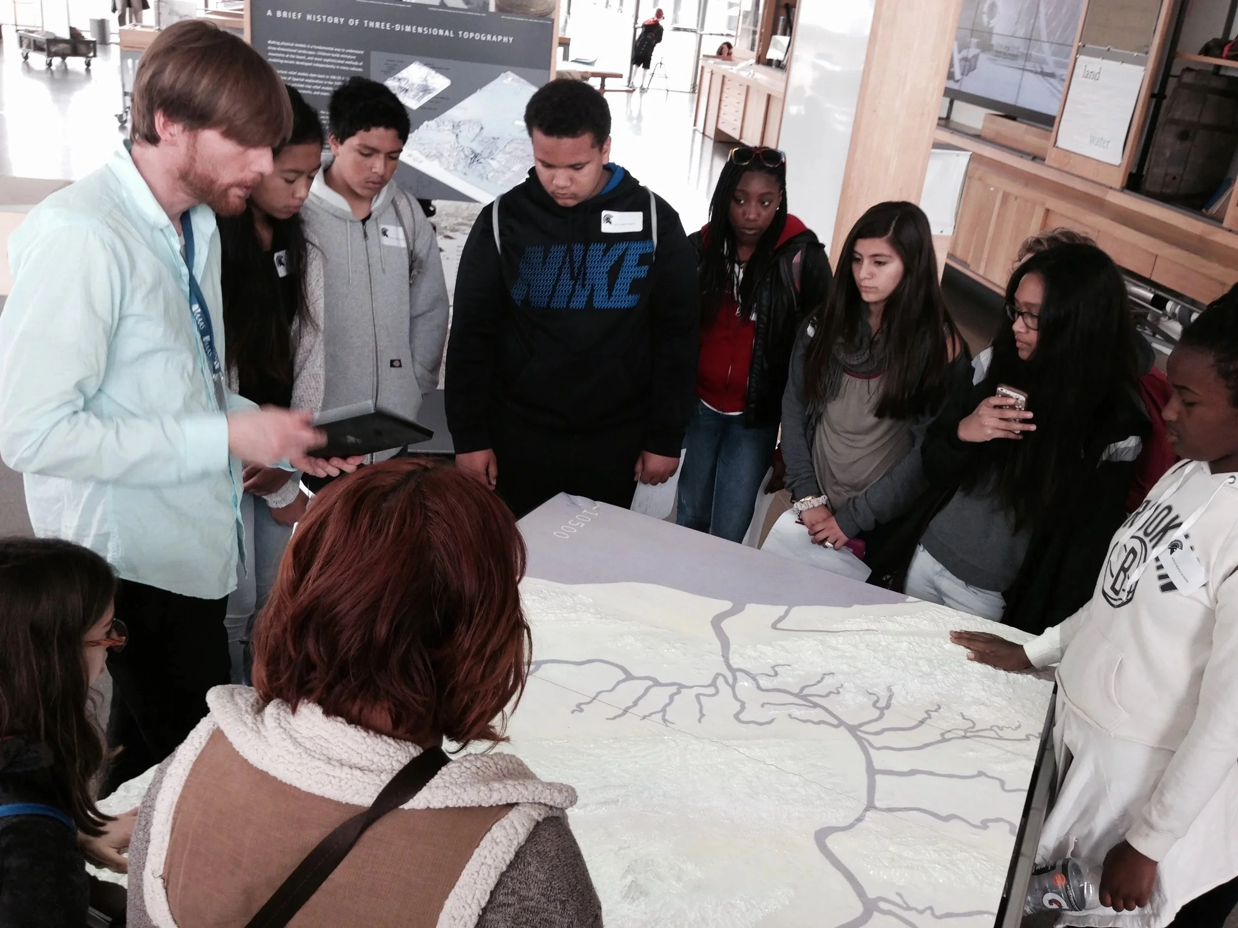
The Exploratorium is a museum of science, art, and human perception located in San Francisco. Surrounded by glass windows at the end of the museum, the Bay Observatory gallery invites visitors to connect what they see outside with data-driven exhibits and map collections showcasing the history and the forces that shape the Bay Area.
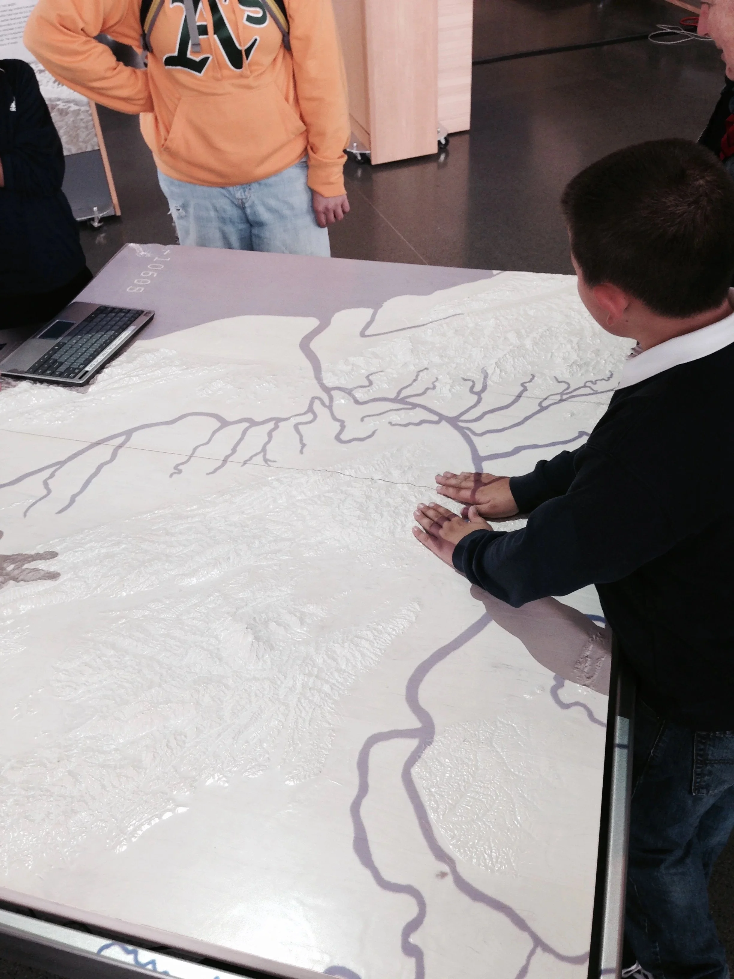
In 2015, I had the opportunity to be a Scientist-in-Residence in the Bay Observatory and create an interactive visualization, Changing Shorelines, about Bay Area sea level rise projected on a 3D relief map table (currently on view).
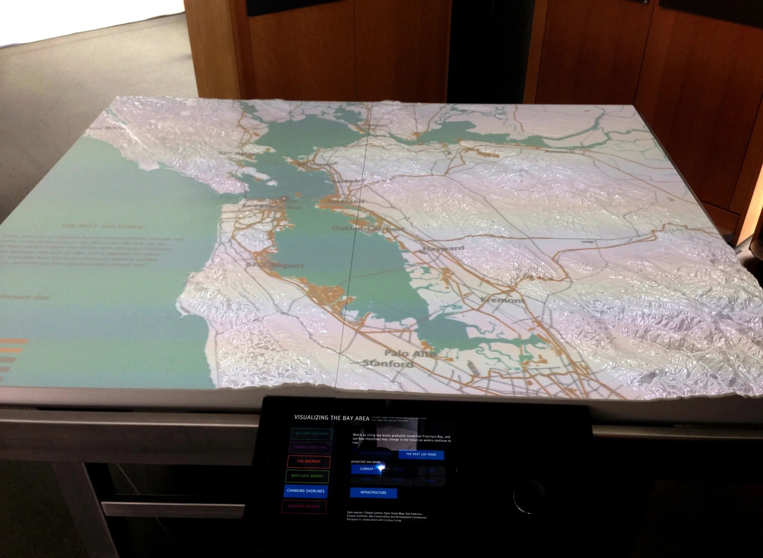
Visitors select different data layers to display urban and natural elements like cities, roads, water systems, and the present-day shoreline.
Changing Shorelines demonstrates how the San Francisco Bay formed over 18,000 years since the last ice age. Visitors scroll through time to see how sea levels gradually rose and moved through the Golden Gate.
Climate change scenarios are added as layers onto the map to show how much sea level rise is projected to impact the shoreline in the near future.
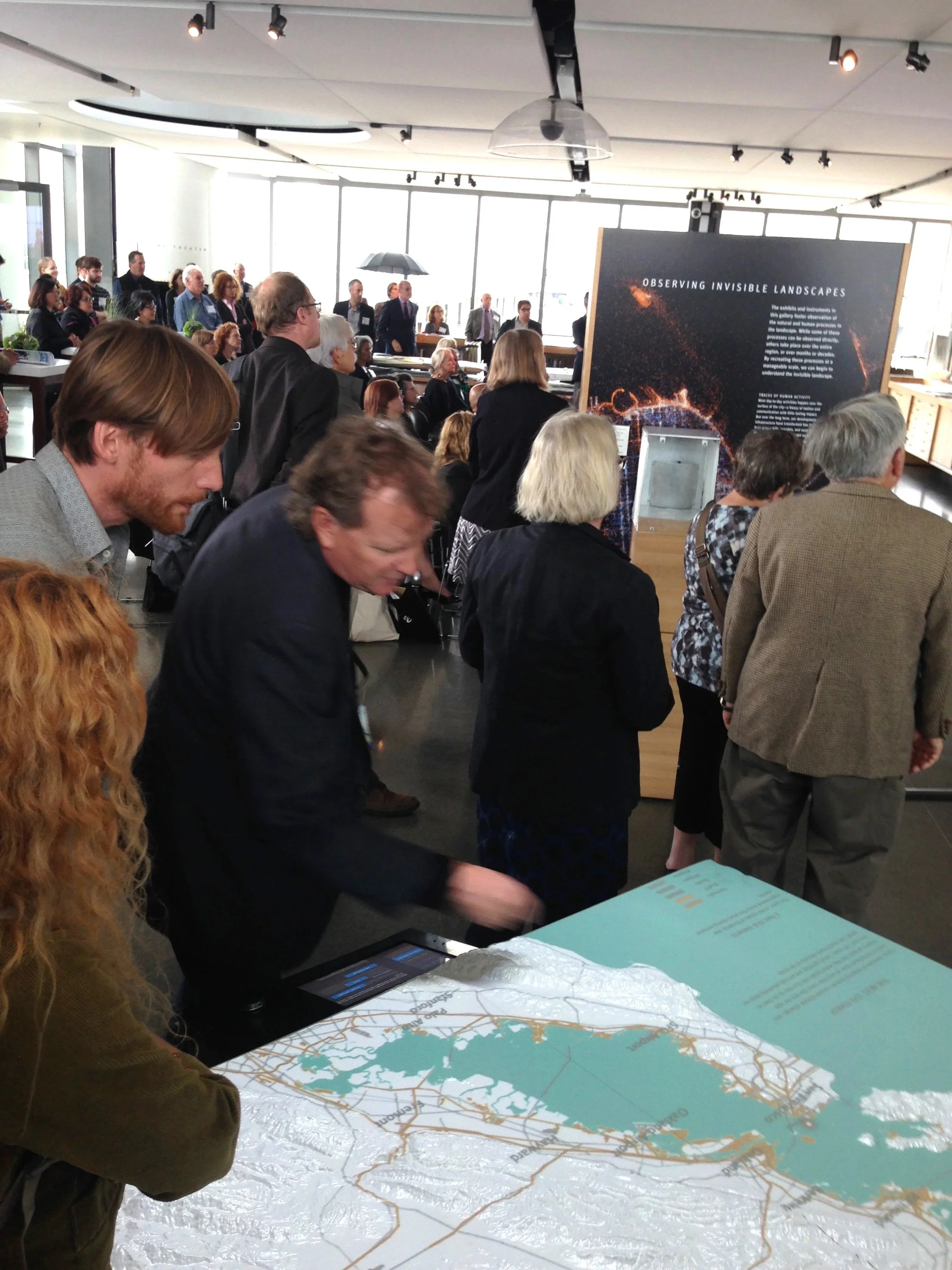
The Exploratorium hosts lectures and events at the Bay Observatory. The Changing Shorelines exhibit was part of a planning summit hosted by the Bay Area Coastal Development Commission
Role: Every exhibit at the museum invites inquiry and inspires curiosity. Head curator, Susan Schwartzenberg put my work through this same level of scrutiny, for which I am so grateful. She hosted frequent studios with guest scientists, historians, policy makers, and artists where I could refine concepts and test designs and ideas with visitors on a continual basis. I worked with media developers in the Exhibit Development Shop to organize my mess of data and bring it to life with beautiful interactive animations. Some of the specifics:
I used Google Earth, QGIS, ArcGIS, Mapbbox Studio to integrate a broad spectrum of geospatial datasets into a custom Java and Processing-based software designed by Exploratorium exhibit developers. (want to get nerdy? see Methods)
Advised on program development for the exhibit; fostered relationships with scientific collaborators like the San Francisco Estuary Institute, Climate Central, NOAA, USGS, and Bay Area Coastal Development Commission
[Deep Past] Animation of Bay Area Sea Level Rise from 18,000 years ago to the present day. Simulation from Changing Shorelines exhibit. Exploratorium @2015
[Near Future] Animation of Bay Area Sea Level Rise from the present day to 100 years into the near future. Map layers depict areas that will be vulnerable under different scenarios of flooding above present day high tide. Simulation from Changing Shorelines exhibit. Exploratorium @2015